Plate Boundary Hazards

Illustration of plate boundary hazards showing earthquake damage, volcanic eruption, tsunami wave, and landslide.
Plate boundary hazards including earthquakes, volcanoes, tsunamis, and landslides. trustatoms.com

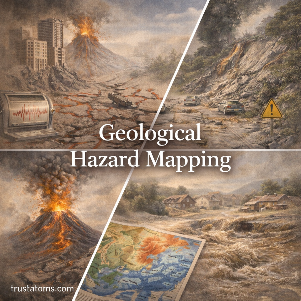
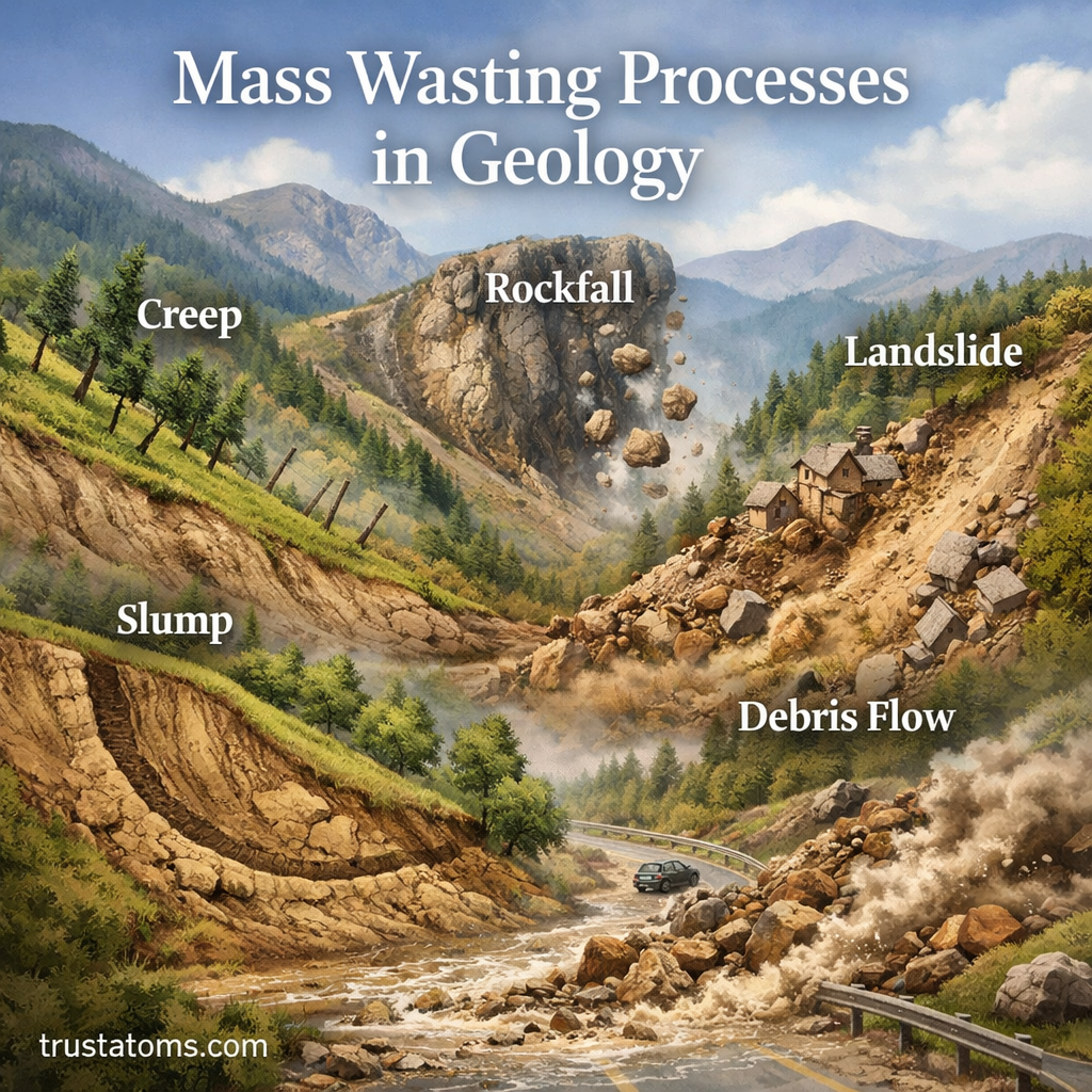
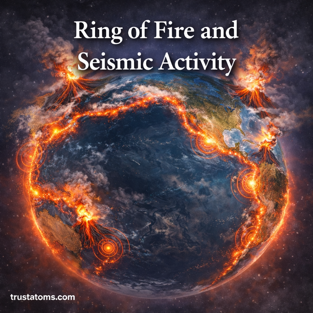
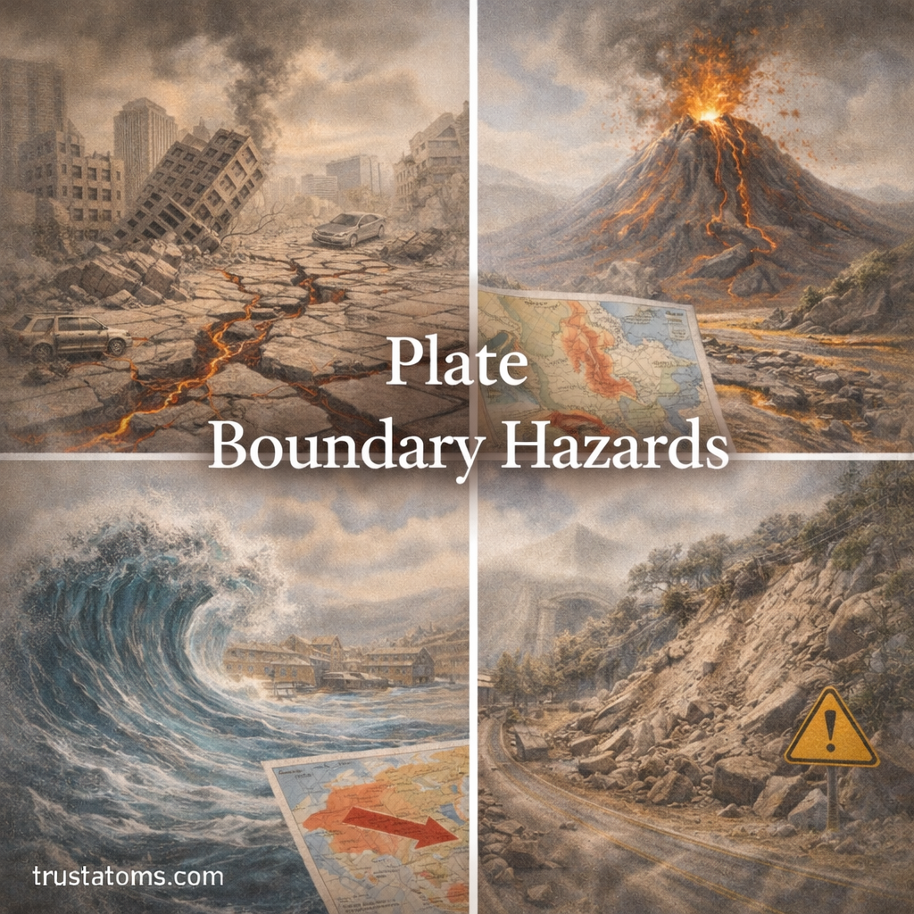
Plate boundary hazards are some of the most powerful and destructive natural events on Earth. These hazards occur where tectonic plates meet, move, and interact. The movement of these massive plates generates earthquakes, volcanic eruptions, and other geological events that can impact millions of people.

Understanding plate boundary hazards is essential for predicting risks, improving safety, and planning resilient communities.

Continue reading “Plate Boundary Hazards”

Geological Hazard Mapping

Illustration of geological hazard mapping showing earthquakes, landslides, volcanic eruptions, and flood risk areas.
Geological hazard mapping showing different natural hazards including earthquakes, landslides, volcanoes, and floods. trustatoms.com

Geological hazard mapping is a critical tool used to identify areas at risk from natural hazards such as earthquakes, landslides, volcanic eruptions, and floods. By analyzing geological data and environmental conditions, scientists create maps that help governments, engineers, and communities make safer decisions.

These maps are essential for reducing risk, guiding development, and improving disaster preparedness.

Continue reading “Geological Hazard Mapping”

Volcanic Ash and Atmospheric Effects

Illustration of volcanic ash eruption showing ash cloud, aircraft in atmosphere, and environmental impact on nearby areas.
Volcanic ash and atmospheric effects including eruption clouds, aviation impact, and environmental hazards. trustatoms.com

Volcanic eruptions are among the most powerful natural events on Earth, and one of their most far-reaching impacts comes from volcanic ash. Unlike lava flows that affect nearby areas, volcanic ash can travel thousands of miles through the atmosphere, influencing weather, climate, air quality, and even global systems.

Understanding how volcanic ash interacts with the atmosphere is essential for predicting environmental impacts and protecting human health.

Continue reading “Volcanic Ash and Atmospheric Effects”

Earthquake Preparedness Strategies

Illustration showing earthquake preparedness strategies including emergency planning, safety supplies, taking cover, and securing furniture.
Illustration of earthquake preparedness strategies including planning, emergency kits, safety actions, and home protection. trustatoms.com

Earthquakes are among the most unpredictable natural disasters, capable of causing widespread damage in seconds. While they cannot be prevented, effective preparedness strategies can significantly reduce risks to life, property, and infrastructure.

Understanding how to prepare before, during, and after an earthquake is essential—especially for people living in seismically active regions.

Continue reading “Earthquake Preparedness Strategies”

Mass Wasting Processes in Geology

Illustration of mass wasting processes in geology showing landslide, rockfall, and soil movement on a slope.
Illustration of mass wasting processes in geology including landslides, rockfalls, and slope movement. trustatoms.com

Mass wasting is one of the most important natural processes shaping Earth’s surface. It refers to the downslope movement of soil, rock, and debris under the force of gravity. From slow soil creep to sudden landslides, mass wasting plays a major role in landscape evolution, hazard formation, and environmental change.

Understanding these processes helps scientists, engineers, and communities reduce risk and better manage land use.

Continue reading “Mass Wasting Processes in Geology”

Ring of Fire and Seismic Activity: Why Earthquakes and Volcanoes Cluster Around the Pacific

Illustration of the Pacific Ring of Fire showing active volcanoes and earthquake zones surrounding the ocean.
Illustration highlighting the Ring of Fire and the concentration of seismic activity around the Pacific Ocean. trustatoms.com.

The Ring of Fire is one of the most geologically active regions on Earth. Stretching around the Pacific Ocean, it is home to the majority of the world’s earthquakes and volcanoes.

Understanding why this region experiences so much seismic activity helps explain how Earth’s dynamic surface works—and why certain areas face greater natural hazard risks.

Continue reading “Ring of Fire and Seismic Activity: Why Earthquakes and Volcanoes Cluster Around the Pacific”

Ground Deformation and Eruption Forecasting: How Scientists Predict Volcanic Activity

Illustration showing ground deformation near a volcano with magma movement underground and monitoring equipment tracking changes.
Illustration demonstrating how ground deformation is used to forecast volcanic eruptions. trustatoms.com.

Volcanoes rarely erupt without warning. One of the most important clues scientists monitor is ground deformation—subtle changes in the shape of the Earth’s surface caused by moving magma beneath a volcano.

By studying these changes, researchers can better understand what is happening underground and improve eruption forecasting, helping to protect lives and infrastructure.

Continue reading “Ground Deformation and Eruption Forecasting: How Scientists Predict Volcanic Activity”

Volcanic Gas Emissions and Hazards: What They Are and Why They Matter

Illustration of volcanic gas emissions showing an erupting volcano releasing gases like carbon dioxide and sulfur dioxide affecting nearby areas.
Illustration showing volcanic gas emissions and their impact on surrounding environments and communities. trustatoms.com.

Volcanoes are often associated with lava and explosive eruptions, but one of their most dangerous and overlooked features is the release of volcanic gases. These gases can affect air quality, climate, and human health—even when a volcano is not actively erupting.

Understanding volcanic gas emissions is essential for assessing volcanic hazards and protecting nearby communities.

Continue reading “Volcanic Gas Emissions and Hazards: What They Are and Why They Matter”

Seismic Monitoring Systems: How We Detect and Track Earthquakes

Illustration of seismic monitoring systems showing seismometer stations, ocean buoys, and a control center analyzing earthquake data.
Illustration showing how seismic monitoring systems detect and analyze earthquakes using sensors and data networks. trustatoms.com.

Seismic monitoring systems are essential tools used to detect, measure, and analyze earthquakes. These systems help scientists understand Earth’s internal activity, provide early warnings, and reduce the impact of seismic hazards on communities.

From underground sensors to global data networks, modern seismic monitoring plays a critical role in protecting lives and infrastructure.

Continue reading “Seismic Monitoring Systems: How We Detect and Track Earthquakes”

Submarine Earthquakes and Tsunami Risk: Causes, Impacts, and Safety

Illustration showing a submarine earthquake beneath the ocean and a tsunami wave approaching a coastal city.
Illustration demonstrating how submarine earthquakes can trigger tsunamis and impact coastal regions. trustatoms.com.

Submarine earthquakes occur beneath the ocean floor and are among the most powerful geological events on Earth. While many go unnoticed, some can trigger tsunamis—massive ocean waves capable of causing widespread destruction along coastlines.

Understanding how these underwater earthquakes work and how they lead to tsunamis is essential for coastal safety and disaster preparedness.

Continue reading “Submarine Earthquakes and Tsunami Risk: Causes, Impacts, and Safety”